What Is Santa Ana, El Salvador Known For?
El Salvador's second city, the volcano that shares its name, coffee heritage, a famous theatre and cathedral, and the gateway to Cerro Verde and Coatepeque.
 Written with Carlos Hernández, Santa Ana Volcano tour guide & hiking specialist
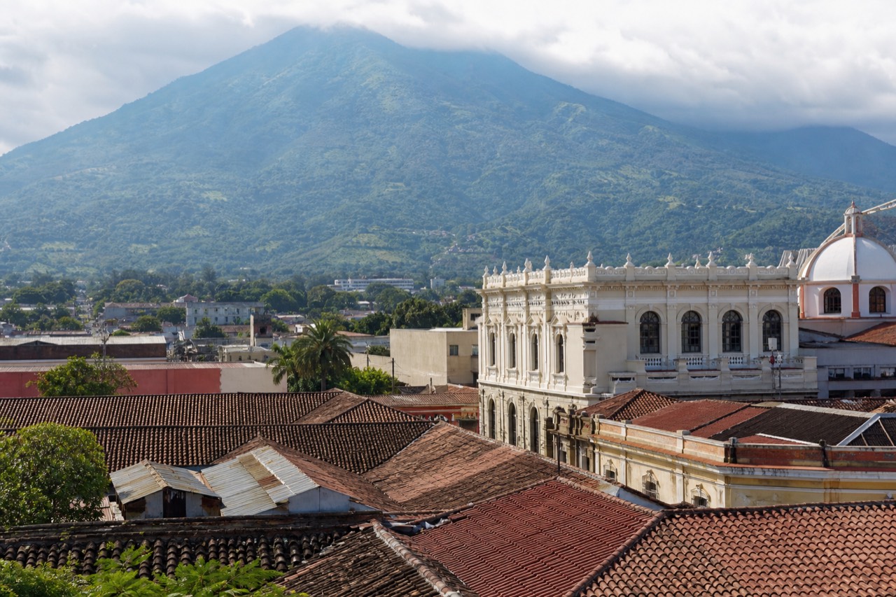
Short answer
Santa Ana is El Salvador's second city, known for the volcano that shares its name, the country's highest at 2,381 m, for its coffee heritage, and for a colonial-era centre crowned by a celebrated theatre and a striking cathedral. It is also the natural gateway to Cerro Verde National Park and Lake Coatepeque.
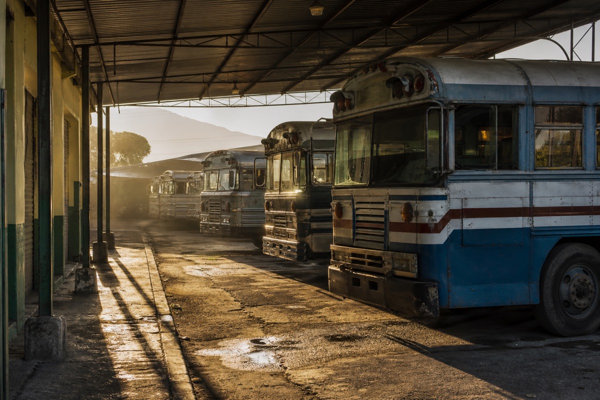
Santa Ana is where I drink my coffee before dawn on hiking days, in a plaza where the cathedral's pale spires catch the first light and the bus engines warm up a street away. Travelers usually meet the name twice, once as a city and once as a volcano, and plenty arrive confused about which is which. I have lived with both since 2018, so let me introduce the city properly, then untangle the naming.
What is Santa Ana, El Salvador known for?
Four things above all: being El Salvador's second city, lending its name to the country's highest volcano, a coffee heritage that built its grandest architecture, and a historic centre whose theatre and cathedral are among the most photographed buildings in the country. Add its role as gateway to Cerro Verde and Lake Coatepeque.
The city rewards a slower look than most people give it. It grew rich on coffee more than a century ago, and that money left a compact, walkable core of ornate facades around the central plaza, with the theatre and the cathedral as the twin showpieces.
| Known for | What it is | Why it matters to a visitor |
|---|---|---|
| Second city of El Salvador | The western region's hub | Real city life without capital-city sprawl |
| The volcano next door | Ilamatepec, 2,381 m, shares the name | The country's most famous hike starts nearby |
| Coffee heritage | The historic heart of coffee country | The wealth that built the old centre, beans still grown on the slopes |
| Theatre and cathedral | Early twentieth-century landmarks on the plaza | The classic photo stop and the city's pride |
| Gateway position | Closest city to Cerro Verde and Coatepeque | The cheapest, earliest access to the trailhead |
The official tourism board leans on the same pairing of city and summit, and its page on Ilamatepec makes the connection explicit.
Is Santa Ana the city or the volcano?
Both, and context decides which. Santa Ana the city is El Salvador's second city in the western highlands. Santa Ana the volcano, locally called Ilamatepec, is the 2,381 m stratovolcano nearby whose turquoise crater draws the hikers. When Salvadorans want to be precise about the mountain, they say Ilamatepec.
The double name trips up plenty of first-time planners, so here is the untangling in one table.
| Name | Refers to | Key detail |
|---|---|---|
| Santa Ana (city) | El Salvador's second city | Coffee-boom architecture, theatre, cathedral, bus terminals |
| Santa Ana Volcano | The stratovolcano nearby | Highest in the country, last erupted October 2005 |
| Ilamatepec | The volcano's local name | The name you will hear from guides and locals |
| Cerro Verde | The national park at about 2,000 m | Sits between Santa Ana, Izalco, and the viewpoints |
| Lake Coatepeque | The caldera lake, roughly 10 km across | The swimming and lunch lake, not the crater lake |
That last row matters more than it looks. The volcano's own crater lake is sulfuric, acidic, and strictly off-limits for swimming, while Coatepeque below is the blue caldera lake where people actually swim, eat, and rent jet skis. My guides to the crater lake and Lake Coatepeque keep the two firmly apart.
What is there to see in the city itself?
A compact historic centre you can cover on foot in half a day: the celebrated theatre, the cathedral with its pale, ornate facade, the plaza life between them, and streets of coffee-era buildings. It is not a city of ticketed attractions so much as one of atmosphere, coffee, and unhurried walking.
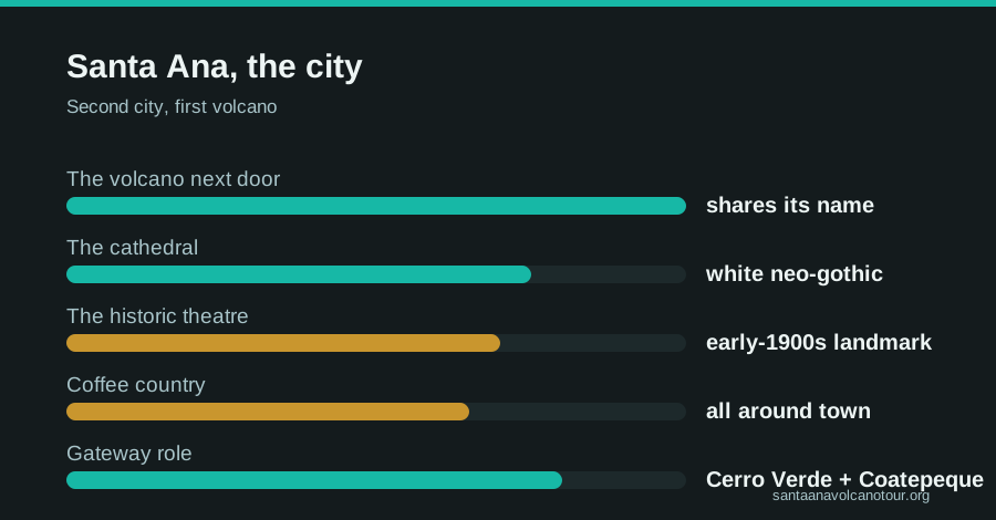
The theatre is the emblem. Built in the early twentieth century at the height of the coffee boom, it is the kind of building a small city constructs when it briefly has money and wants the world to know. The cathedral across the plaza answers it with spires and white detail, and evening light does both of them favors. Around them, the grid holds market streets, pastry counters, and the small daily theatre of plaza life: shoeshines, school uniforms, someone selling sliced mango with lime.
I send hikers here the afternoon before a climb. Wander the centre, eat well, sleep close to the trailhead side of the country. My roundup of things to do in Santa Ana fills the afternoon, and where to stay in Santa Ana sorts the neighborhoods.
Why is Santa Ana called coffee country?
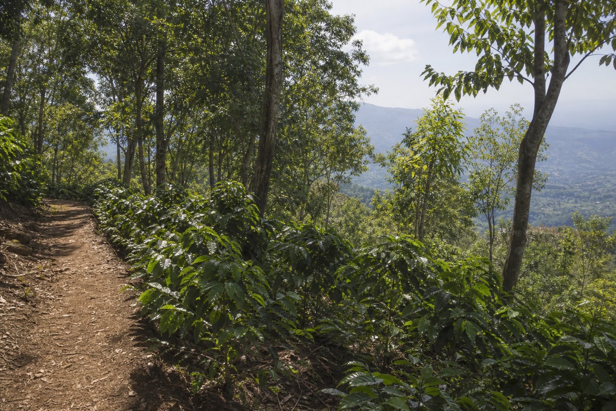
Because the volcanic highlands around the city grew the beans that powered western El Salvador's economy for over a century. The coffee boom paid for the theatre, the cathedral, and the ornate centre, and coffee is still grown on the volcano's lower slopes, where the hiking trail passes plants ripening under shade trees.
Coffee explains the city the way steam explains the volcano. The altitude, the rich volcanic soil, and the mild highland climate made the region ideal for high-grown coffee, and the export wealth concentrated here. Walk the centre and you are walking through that ledger, one facade at a time.
On the trail, the connection turns literal. The first stretch of the volcano hike climbs through farmland where coffee grows within arm's reach of the path, which makes for the easiest botany lesson I ever give. By the summit you have traded coffee plants for bare volcanic rock and a steaming crater, a full landscape transect in under 7 km.
What does a volcano day from Santa Ana city look like, hour by hour?
Early and cheap. You are at La Vencedora terminal for the 7:30 to 7:40 bus 248, about $0.70, and roughly 2 hours later at the trailhead area as the group ascent forms around 9:30 to 10:00. Rim near noon, off the crater before it closes about 13:00, then the afternoon bus back and dinner on the plaza.
The city's whole advantage as a base is that its bus meets the volcano's schedule, so here is the day as I lay it out for clients sleeping in town, as planning allowances rather than a timetable.
| Time | What you are doing | Detail |
|---|---|---|
| Before 7:00 | Coffee near the plaza, walk to the terminal | The cathedral catches first light about now |
| 7:30 to 7:40 | Bus 248 leaves La Vencedora | About $0.70; have small bills |
| About 9:30 | Arrive at the trailhead area | Roughly 2 h on the bus; pay the $3 entrance and about $4 guide fee in cash |
| 9:30 to 10:00 | Group ascent forms; last start 11:00 | Poles for about $2, briefing from the mandatory local guide |
| Around 12:00 | The rim | About 2 h up; crater, photos, paleta |
| By 13:00 | Off the crater | The area closes around this time; roughly 1.5 h down |
| Afternoon | Bus back to Santa Ana | Allow about 2 h; you are on the plaza for dinner |
The morning is the only fragile part. Oversleep the 7:30 bus and you are chasing the 11:00 last start with a taxi, which is possible but expensive and stressful. Catch it, and the day runs itself: the same daily group, the same guide requirement, and the same rim as every other visitor, for a fraction of the transport cost. My post on the morning group ascent describes what that first hour at the trailhead is like when the groups form.
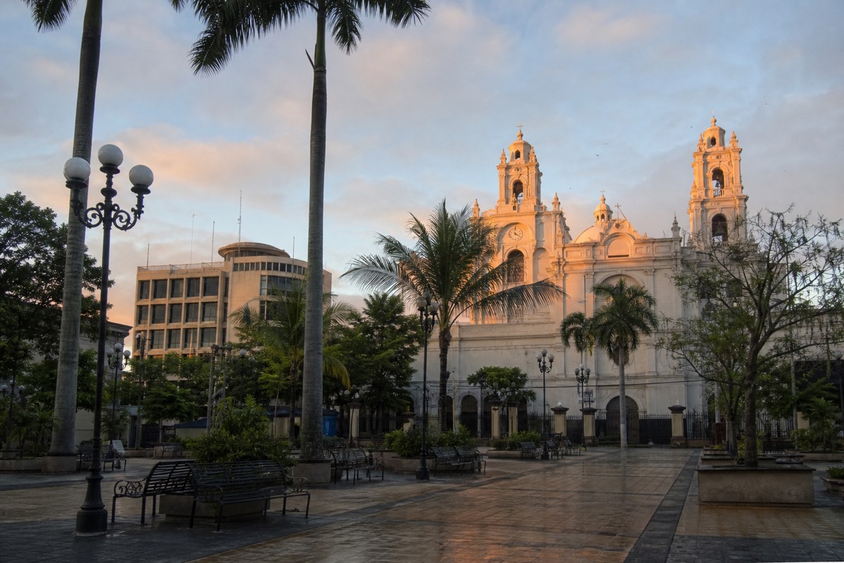
How does Santa Ana city compare with San Salvador or the coast as a base?
Santa Ana is the budget base with the only public bus that meets the ascent window. San Salvador is closer by road, about 1 to 1.25 hours, but has no workable public route, so it pairs with the guided day's hotel pickup. El Tunco and El Zonte are roughly 2 hours out and also rely on pickup. Pick the base that matches how you want to travel.
Every base can do the volcano; they just do it differently. Here is the comparison as a planning grid.
| Base | Road time to the volcano | Public transport option | Best suited to |
|---|---|---|---|
| Santa Ana city | About 1 h by car; roughly 2 h by bus 248 | Yes: bus 248, about $0.70, meets the window | Budget hikers, coffee-country explorers, DIY travelers |
| San Salvador | About 1 to 1.25 h | No workable route for the 11:00 cutoff | Visitors on the guided day with hotel pickup |
| El Tunco or El Zonte | Roughly 2 h | No workable route for the 11:00 cutoff | Surfers adding the summit; pickup covered on the guided day |
The choice is really about the rest of your trip. Base in Santa Ana and you get coffee country, the theatre and cathedral, and the cheapest volcano morning in the country. Base in the capital or on the coast and you trade the bus for a van at your hotel door, with admission and the Coatepeque lunch already inside the booking. Neither is wrong. What does not work is trying to do the volcano by public transport from San Salvador or El Tunco, because there is no route that reliably beats the group window; the San Salvador route notes explain the problem in detail, and my where to stay in Santa Ana guide covers the city side.
What is the weather like in Santa Ana city compared with the summit?
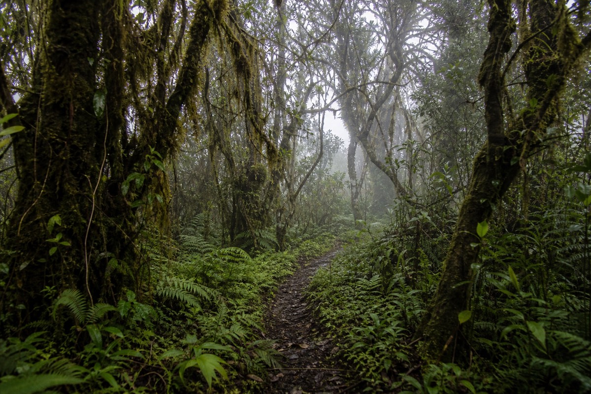
The city is mild highland weather; the summit at 2,381 m is cooler and windier than the base in every month. Dry season, November to April, gives clear skies and the crater at its most turquoise. Green season, May to October, brings lush slopes and afternoon cloud on the mountain, which the late-morning ascent mostly beats.
Clients pack for the city and get surprised on the rim. The two are only an hour apart by road but they live in different weather, and the difference is sharpest at midday when the town is warm and the crater rim has a wind coming across it.
| Period | In the city | On the trail and rim | Pack from the city |
|---|---|---|---|
| November to January | Dry, pleasant, cool mornings | Clearest crater, wind on the rim | A layer for the top, sun protection for the trail |
| February to April | Dry, warming, dusty | Vivid turquoise, strong sun on the upper trail | Hat, sunscreen, water; the layer still comes along |
| May to July | Green, warm, afternoon showers | Lush lower trail, cloud building after midday | Light rain layer, and trust the morning window |
| August to October | Peak green, wettest stretch | Highest cloud risk, still climbable in the morning | Rain layer, grippy shoes for wet rock |
The mechanism is the same all year: the group ascent forms around 9:30 to 10:00, puts you on the rim before the afternoon build-up, and the crater area closes around 13:00 regardless. So the city's afternoon weather rarely matters to the hike; the morning is what counts. If you can choose your month, my guide to the best time to hike goes through the calendar; if you cannot, choose the earliest bus and pack the layer.
What should you pack from the city for the climb?
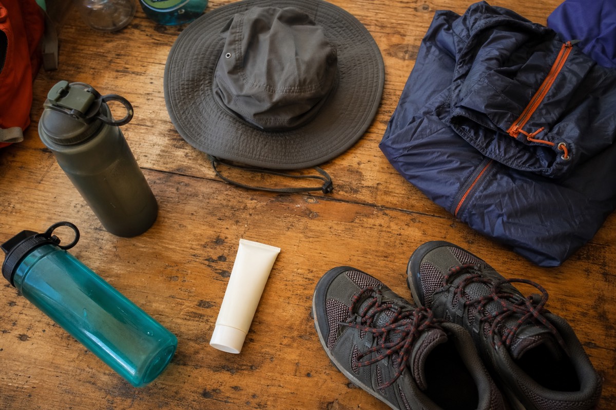
Water, sun protection, a layer for the summit wind, shoes with ankle support, and cash in small US bills. That is the whole kit. Poles rent for about $2 at the trailhead, paletas are sold at the summit, and there is nothing to buy between the terminal and the gate, so the city is where you get organized.
Santa Ana's shops and pastry counters are the last stop before the mountain, and I treat the evening before as a gear audit. Here is what I check clients for, framed as the allowances I use rather than rules.
| Item | My allowance | Why |
|---|---|---|
| Water | 2 L per person | The upper trail is exposed; MARN's own guidance says carry water |
| Sun protection | Hat, sunscreen, sunglasses | No shade above the forest, and the light is fierce at altitude |
| Warm layer | One windproof layer | The summit is cooler and windier than the base, always |
| Footwear | Shoes with ankle support | The last section is loose volcanic rock; recent reviews recommend it |
| Poles | Rent for about $2 | Praised by reviewers, mostly for the descent |
| Cash | Small US bills for fees plus a margin | $3 entrance, about $4 guide, poles, bus fare, paleta; cash only |
| Food | Breakfast, plus a snack for the rim | The paleta seller is a treat, not a meal |
| Litter | A bag to carry it down | MARN asks for no litter; the mountain is watched |
The wrong-shoe problem is the one I see most often. People walk out of a city hotel in the trainers they wore on the plaza and meet the loose rock near the rim on the way down. Ankle support and poles fix that. The second most common gap is water; half a liter for a 3 to 4 hour hike is not enough, and there is no shop on the mountain. My full what to bring checklist goes item by item.
What mistakes do first-timers make in Santa Ana city before the hike?
In my experience since 2018, four things: they leave the plaza too late for the 7:30 bus, they carry only large bills or a card to a cash-only park, they confuse the crater lake with Lake Coatepeque and pack a swimsuit for the summit, and they dress for the town's warmth rather than the summit's wind. All four are fixed the evening before.
The city lulls people. It is easy, walkable, and warm, and it does not feel like the staging post for a 2,381 m volcano, which is exactly why the mistakes happen here rather than on the trail.
The timing error is the costly one. Bus 248 leaves La Vencedora around 7:30 to 7:40, and it is the only public departure that reliably meets the group ascent, with its last start at 11:00. Miss it and your options shrink to a taxi or a lost day. Set the alarm, know where the terminal is the night before, and eat breakfast on the plaza early.
The cash error is the annoying one. Park entrance is $3, the group guide about $4, poles about $2, the bus about $0.70 each way, and all of it is cash. One traveler's April 2025 report put the whole DIY day at roughly $17; the trick is having that in small bills. The lake error is harmless but funny: the summit's lake is acidic and prohibited, and the swimming lake is Coatepeque, which the bus route does not visit. If the swim matters, the guided day tour with the included lakeside lunch is the version that delivers it. And the clothing error is the one people feel: the town is warm, the rim is windy and cool, and the layer belongs in the bag. My guide to things to do in Santa Ana fills the afternoon before, and none of it involves a swimsuit at 2,381 m.
How does the city work as a base for the volcano?
Santa Ana is the budget base: bus 248 leaves La Vencedora terminal around 7:30 to 7:40 am, costs about $0.70, and reaches the trailhead area in roughly two hours, in time for the group ascent window. From San Salvador or the coast there is no workable public route, which is where the guided day earns its keep.
The numbers for a Santa Ana-based DIY day are almost comically low.
| Practicality | Detail |
|---|---|
| Bus 248 departure | La Vencedora terminal, about 7:30 to 7:40 am |
| Bus fare | Around $0.70 each way |
| Ride time | About 2 hours to the trailhead area |
| Park entrance | $3 for foreigners, cash only |
| Local group guide | About $4 per person, mandatory |
| Group ascent window | Starts about 9:30 to 10:00, last start 11:00 |
| Reported all-in DIY day | Roughly $17 including a summit paleta |
That schedule only works if you sleep in Santa Ana. Based in San Salvador, El Tunco, or El Zonte, the practical move is to book the guided day tour and check live availability and prices on Viator, since it collects you from your hotel, includes admission and a certified bilingual guide, and adds the Coatepeque lunch the bus version never sees. Full route detail either way is in how to get to the volcano.
Volcanic status for the mountain itself is tracked daily by MARN through the SNET network, which is worth knowing since the city and the summit share more than a name; they share a fate, and the monitoring keeps both well informed. Known for a volcano, built by coffee, and dressed in the architecture of its best decades: that is Santa Ana. Come for the mountain, then give the city the evening it quietly deserves.